Abandoned Mountain Village
No one knows why this little settlement was deserted. Perhaps it was abandoned by the young generation because of its total isolation, or the cold damp winters finally made the people to leave, or perhaps as the older ones died out there was simply no one left to take their place. In the days of this settlement their movements were restricted to how far they could go by walking or with a donkey; the paths to the main building are barely wide enough for 1 donkey. In the barns there were stalls and iron rings for 5 cattle, and a pen for goats. It would be a full day trip to the nearest settlement to trade with shops for the provisions needed.
Today the roofs and some walls have caved in leaving massive stones by the building.
Cork, figs, chickens, goats, cows, and donkeys would all be used for trading at the monthly market.Definitely a subsistence living. But the good part was the readily available fresh spring water, allowing two cisterns to be always full with water. Ancient fig trees (one appears to be over 500 years old), surround the threshing circle that has a fabulous view over the mountains and valleys.
The trek here is of medium difficulty, there are several hills and places where you have to push through almost overgrown paths.
On the way you are rewarded by blossoming wildflowers, pink, red and purple rhododendron, wild orchids, fields of buttercups. Potable Spring mountain water gushes from fonts at the side of the road for you to have a drink.
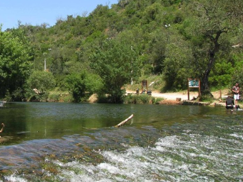
The best is saved for your arrival. Houses made from massive stone, with stone barns attached for cattle, chickens and goats. Each dwelling has a cistern full of sparkling clean water. At the edge of the enclosure is a large circular threshing platform. From here there is a magnificent view over the valleys below. The clue on how to find this village is in the photos. A little detective work on google should bring you to it!(Look at the road sign and locate it on Google, you are looking for the village not the waterfall (cascata)
Difficulty of walk/trek: medium.
Time from beginning of trail: 2.5+ hours there and back, allow extra time for stops along the way.
Advice: do not do this hike on wet, damp or rainy days; hilly paths will be too slippery. Location: below Monchique, GPS head to B
Difficulty of walk/trek: medium.
Time from beginning of trail: 2.5+ hours there and back, allow extra time for stops along the way.
Advice: do not do this hike on wet, damp or rainy days; hilly paths will be too slippery. Location: below Monchique, GPS head to B


